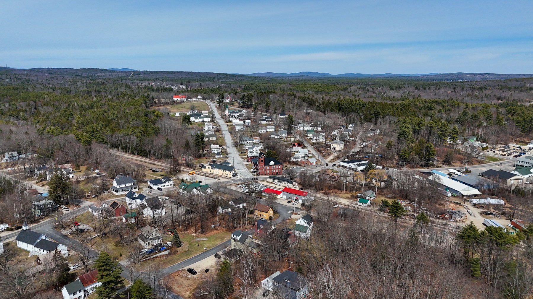
Town Portrait
A wide aerial portrait of Wakefield’s village structure, water, roads, and surrounding hill country.
Shop NH259 Prints
Carroll County / Lakes & Villages
An eastern New Hampshire town where lakes, villages, rail lines, steeples, and foothills overlap into a distinctly layered landscape.
Town Profile
Wakefield’s aerial identity is built from water and village geometry: blue lakes, historic corridors, church architecture, and wooded ridgelines pushing toward the Lakes Region and Maine border country.
Part of Andri Kyrychok’s growing New Hampshire aerial town archive, this page preserves the visual character of the place while giving the work a clear home within the NH259 project.
Featured Images
A wide aerial portrait of Wakefield’s village structure, water, roads, and surrounding hill country.
Shop NH259 Prints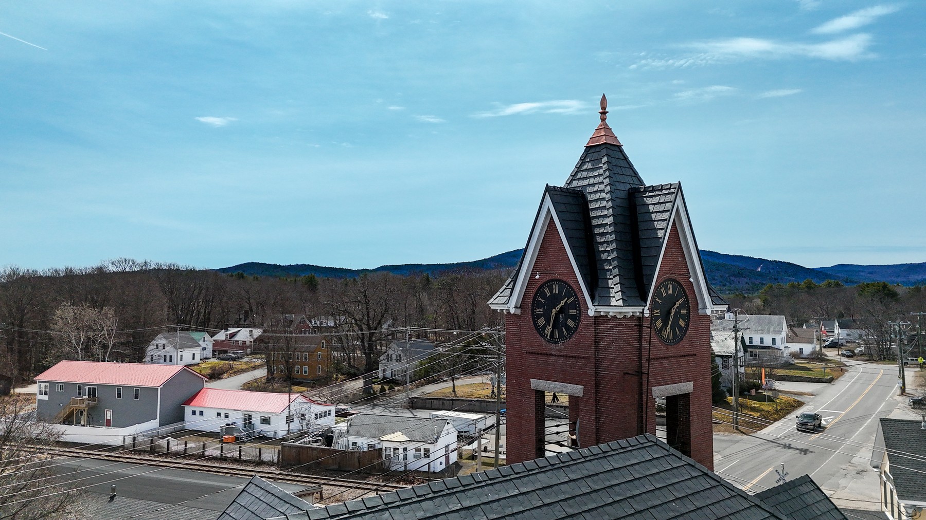
A closer look at Wakefield’s steeple and village landscape, with the hills sitting quietly behind it.
Shop NH259 Prints259-Town Archive
This town page is one entry in an ongoing effort to document New Hampshire communities from above.