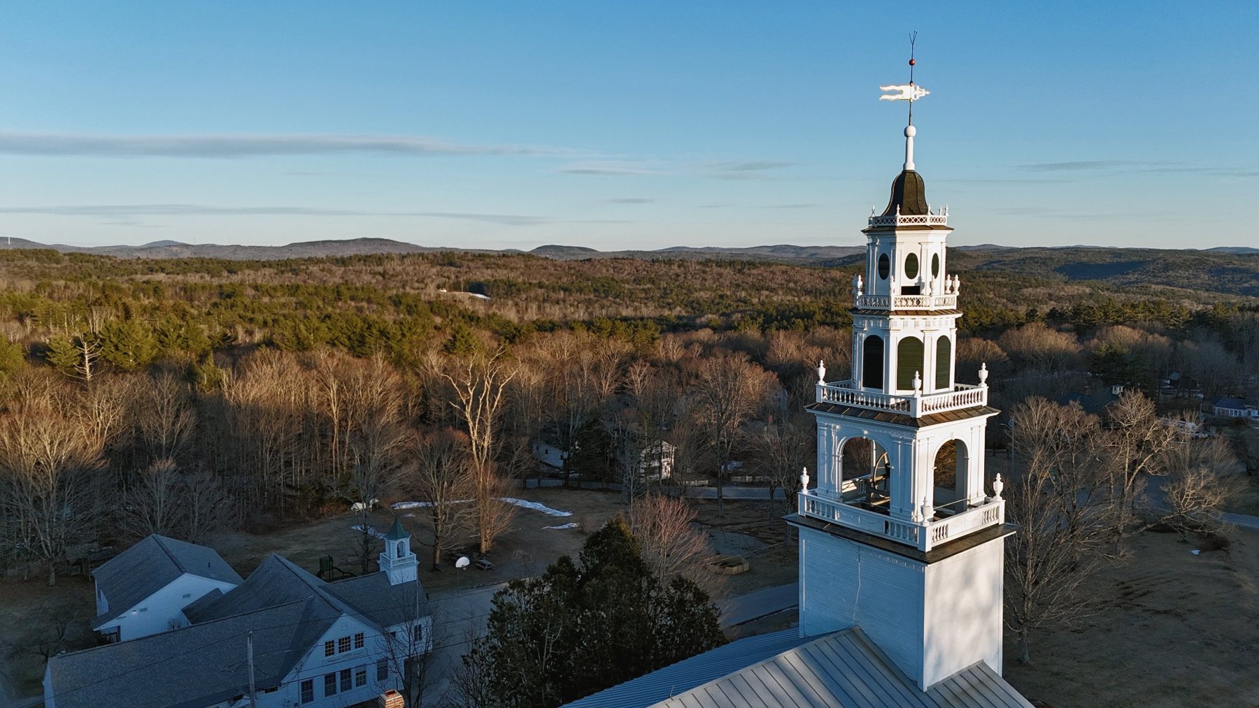
Rural Hilltowns
White steeples, open ridgelines, barns, fields, and the quiet architecture of western New Hampshire.
NH259 Project / Statewide Aerial Archive
A long-form visual census documenting New Hampshire’s 259 municipalities and places from the air — town centers, steeples, mill corridors, village greens, rivers, ridgelines, and the landscape patterns that hold local memory.
The Mission
The NH259 Project is the broad aerial documentation effort: a statewide archive of New Hampshire communities captured through photography and video. It is built for discovery, memory, print sales, future licensing, and long-term cultural value.
Where the Monadnock Aerial History Project goes deep into selected grant-funded historical studies, NH259 goes wide — creating a clean visual map of the state one town at a time.
Current Archive
White steeples, open ridgelines, barns, fields, and the quiet architecture of western New Hampshire.
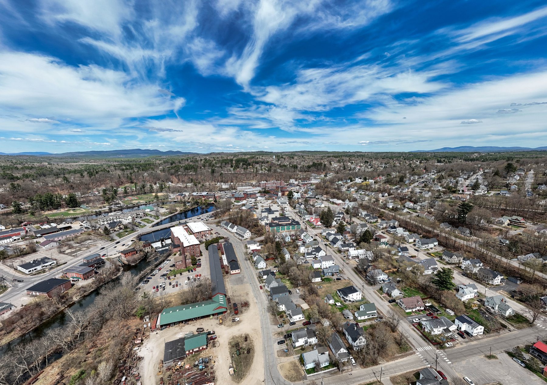
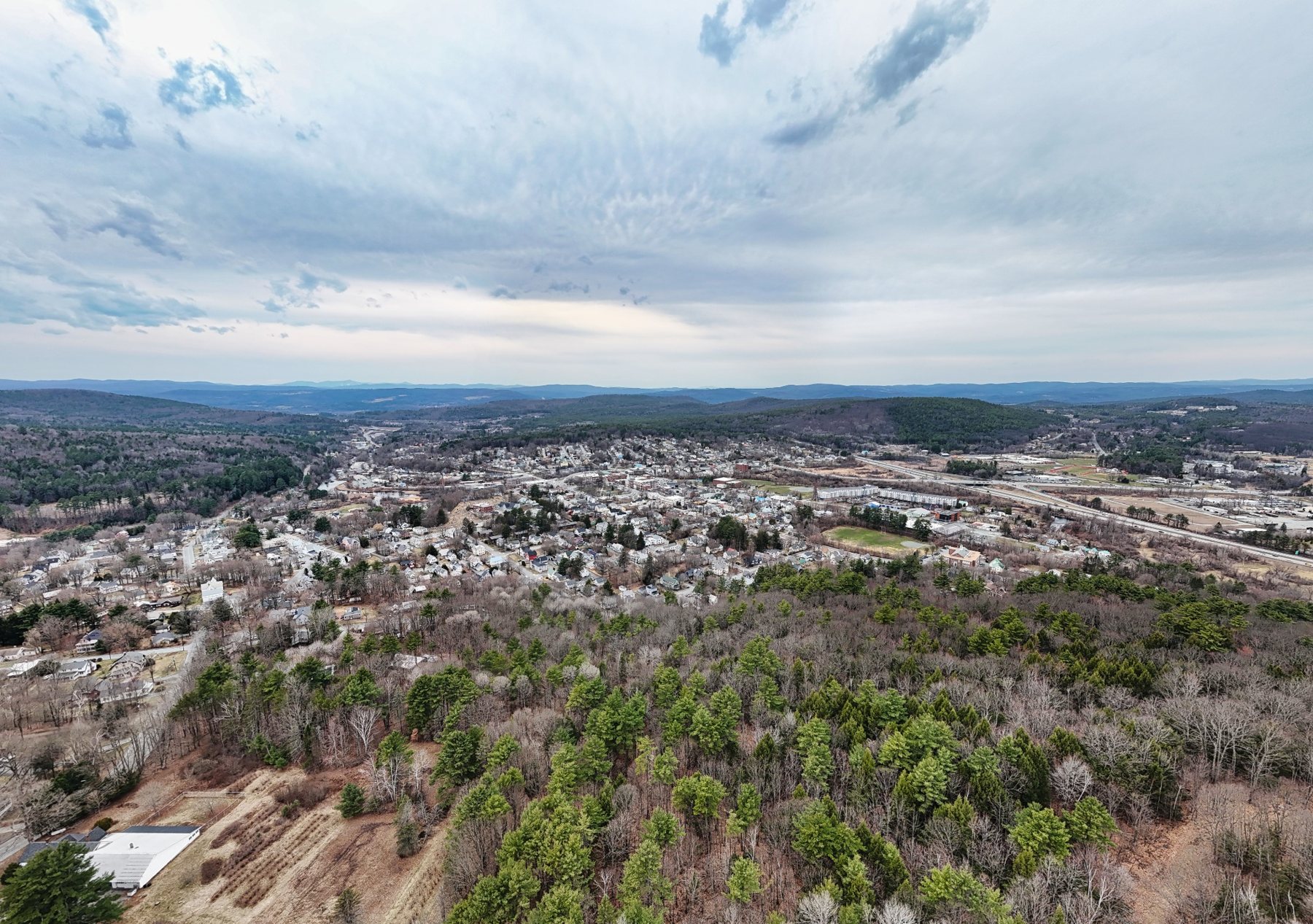
Brick industrial corridors, civic centers, rivers, bridges, and the hard geometry of New England history.
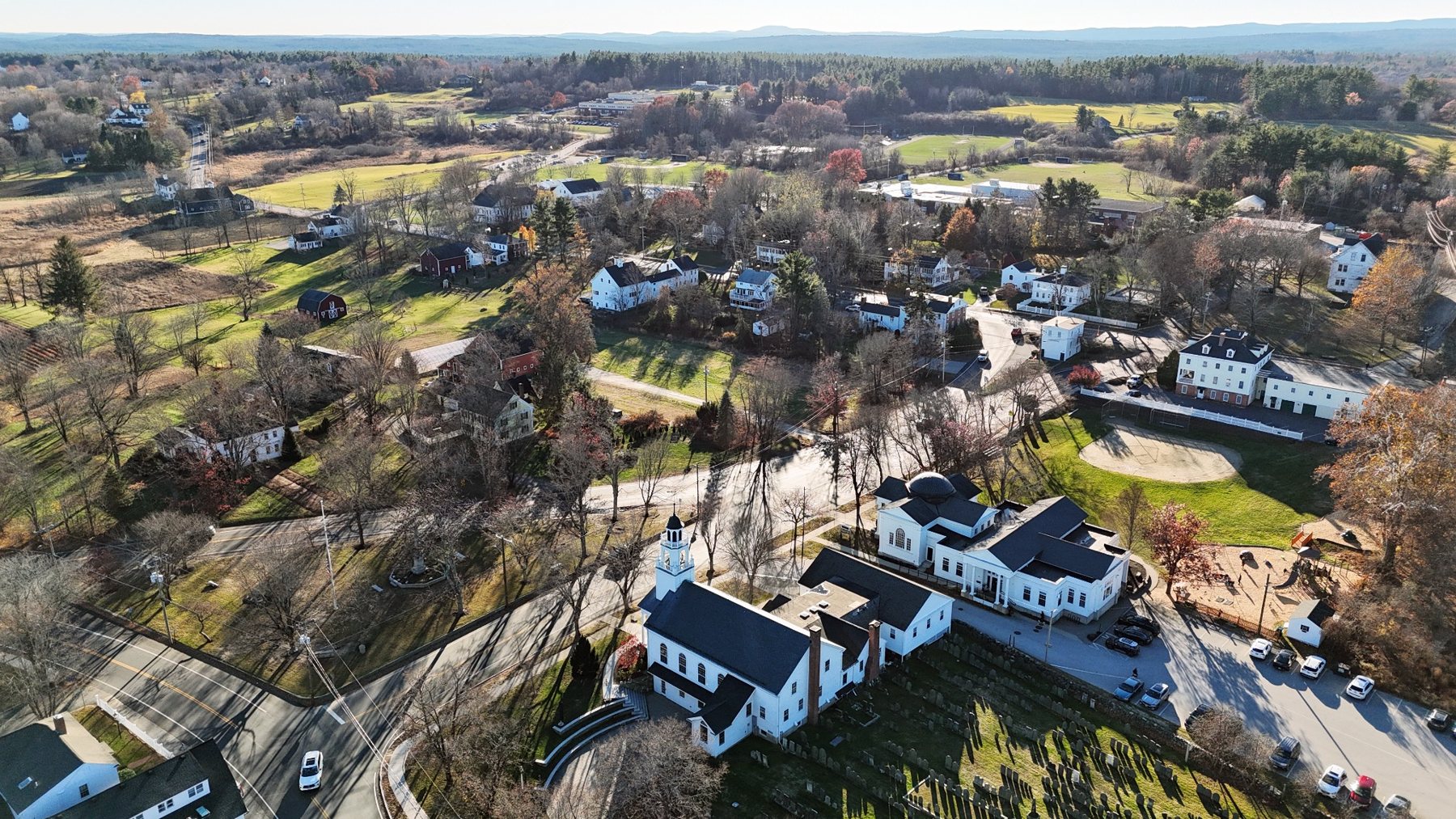
Historic commons, preserved architecture, pastoral edges, and recognizable civic identity from above.
Contribute
NH259 is the wide, statewide documentation project. Contributions help support travel, production time, media storage, editing, and the long-term work of documenting New Hampshire from the air.