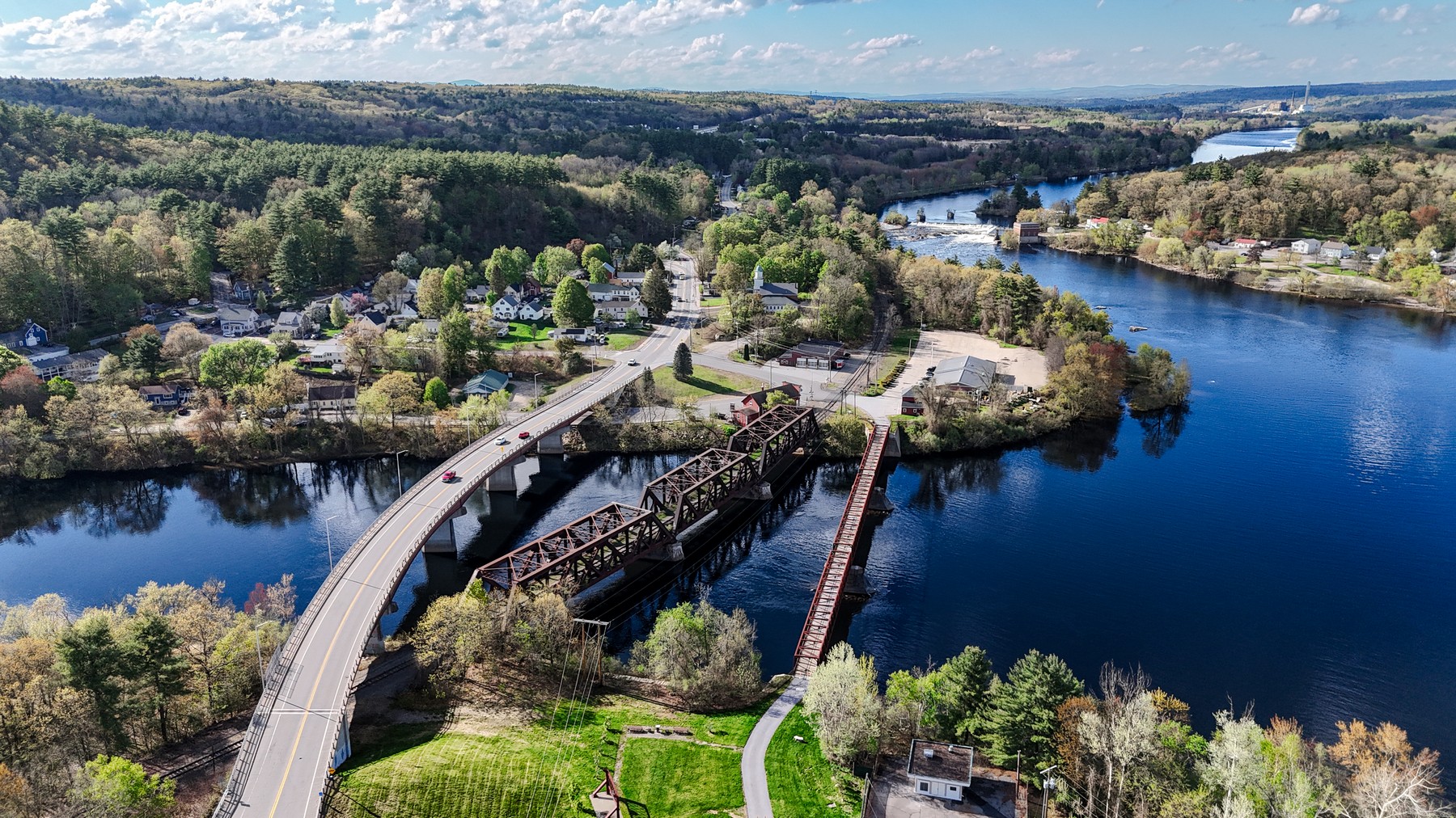
Town Portrait
A broad aerial portrait of Hooksett’s river corridor, bridge crossings, village fabric, and surrounding hills.
Shop NH259 Prints
Merrimack County / River Corridor
A Merrimack River town north of Manchester, seen through bridge crossings, wooded ridgelines, water, industry, and layered valley views.
Town Profile
Hooksett reads beautifully from the air: river bends, road crossings, village edges, forest, and industrial geography all folded into one Merrimack Valley composition.
Part of Andri Kyrychok’s growing New Hampshire aerial town archive, this page preserves the visual character of the place while giving the work a clear home within the NH259 project.
Featured Images
A broad aerial portrait of Hooksett’s river corridor, bridge crossings, village fabric, and surrounding hills.
Shop NH259 Prints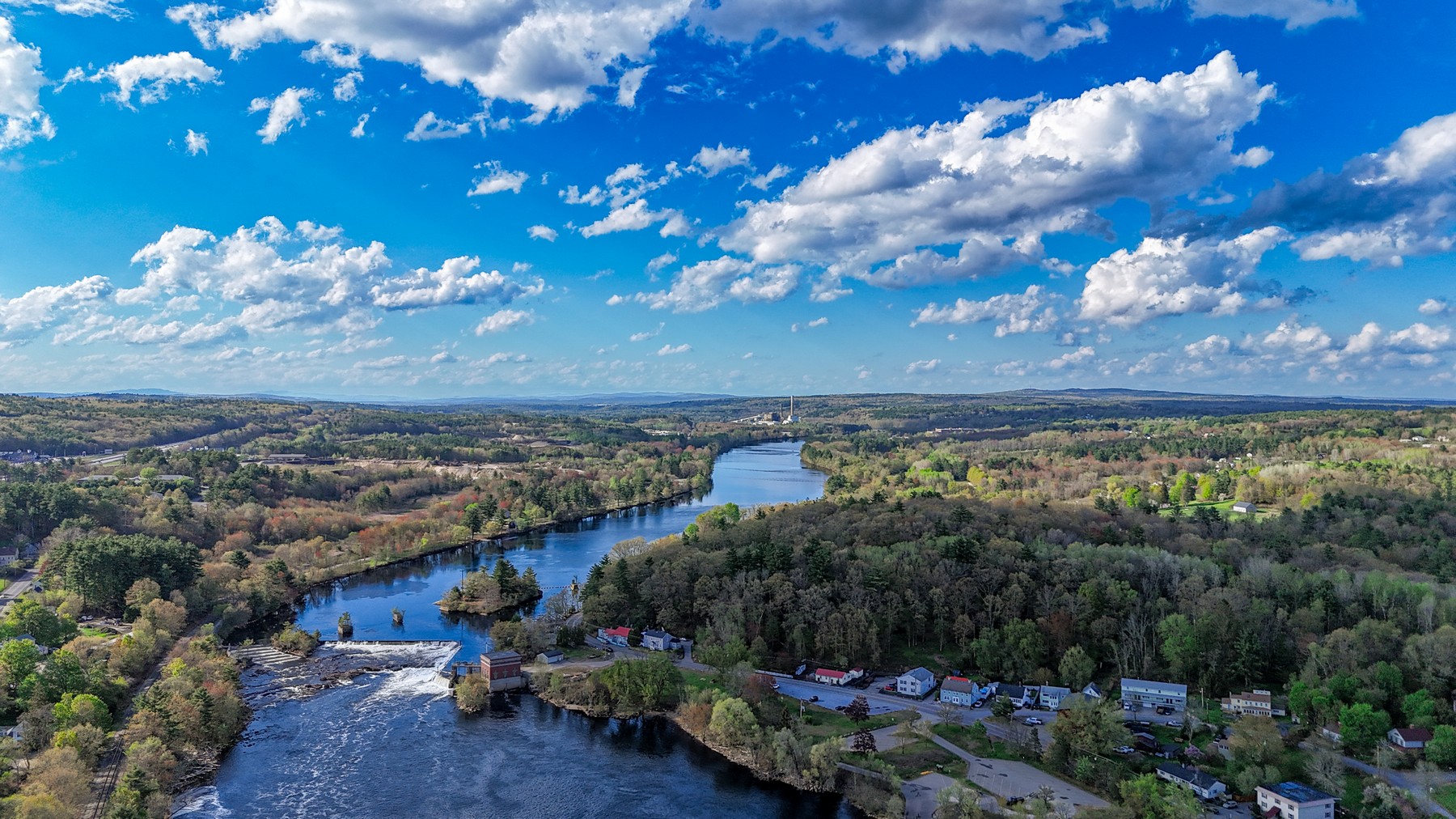
A north-facing view over the Merrimack River landscape, tracking the corridor of water, trees, and settlement.
Shop NH259 Prints259-Town Archive
This town page is one entry in an ongoing effort to document New Hampshire communities from above.