Aerial Perspective
New England from above
This collection is built around the relationships that only become obvious from altitude: steeples and roads, fields and ridgelines, water and valleys, town centers and the larger geography around them.
259NH Place Goal
Part 107Aerial Production
PrintsCollection Path
Selected Work
New England from above
Aerial Work
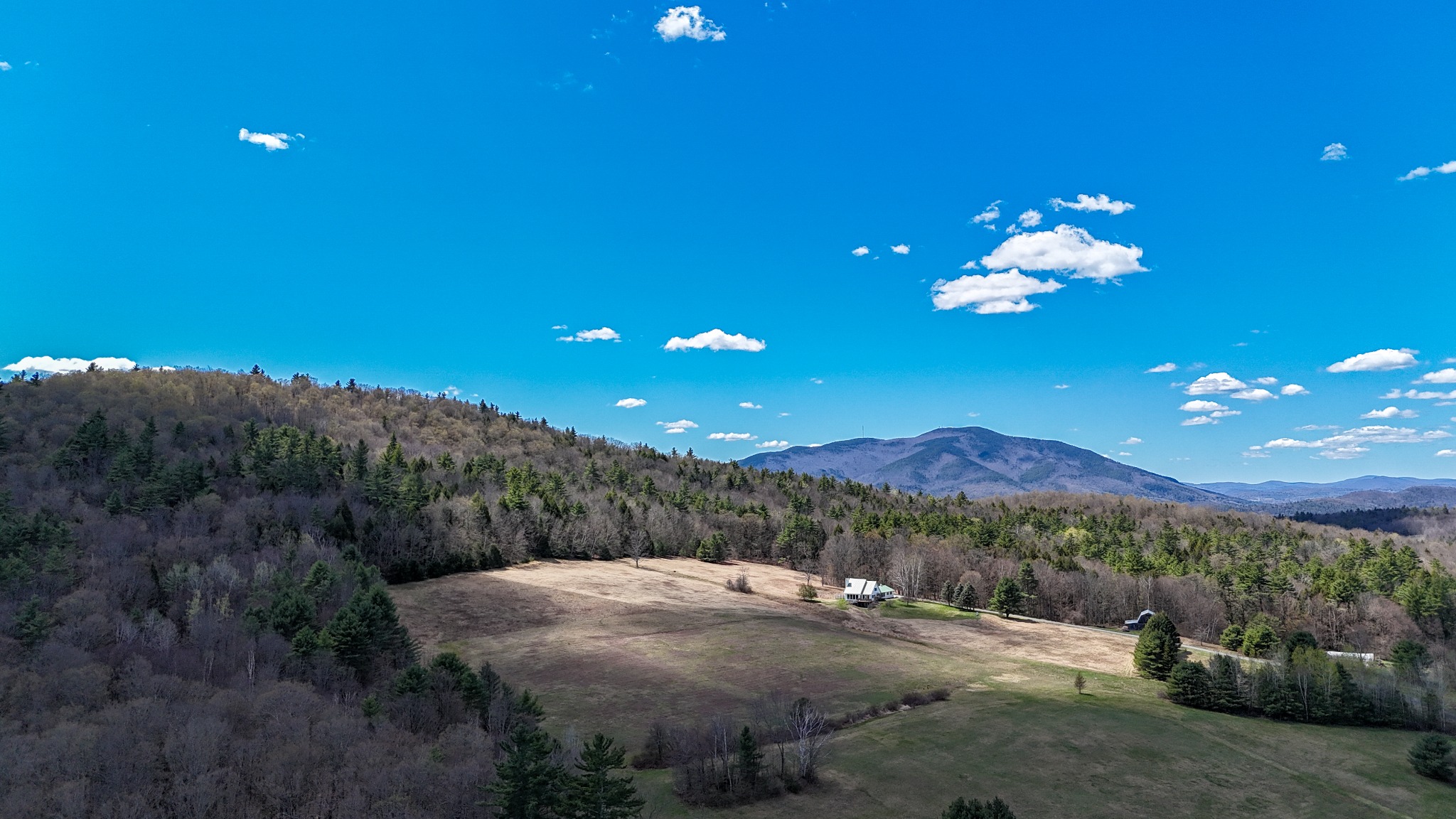
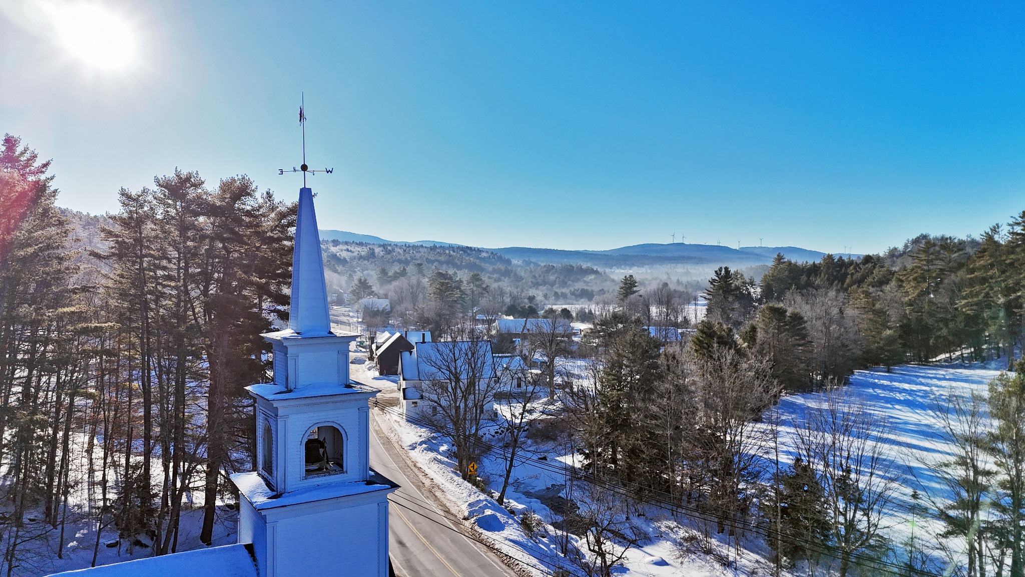
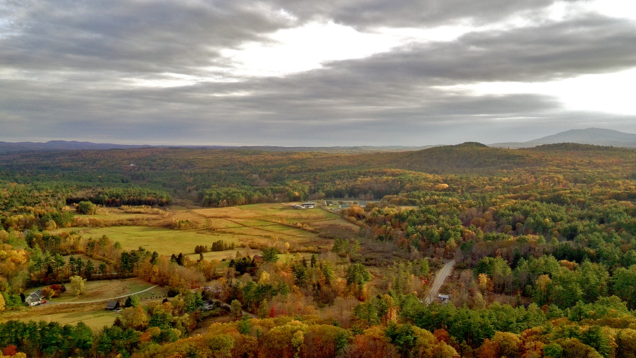
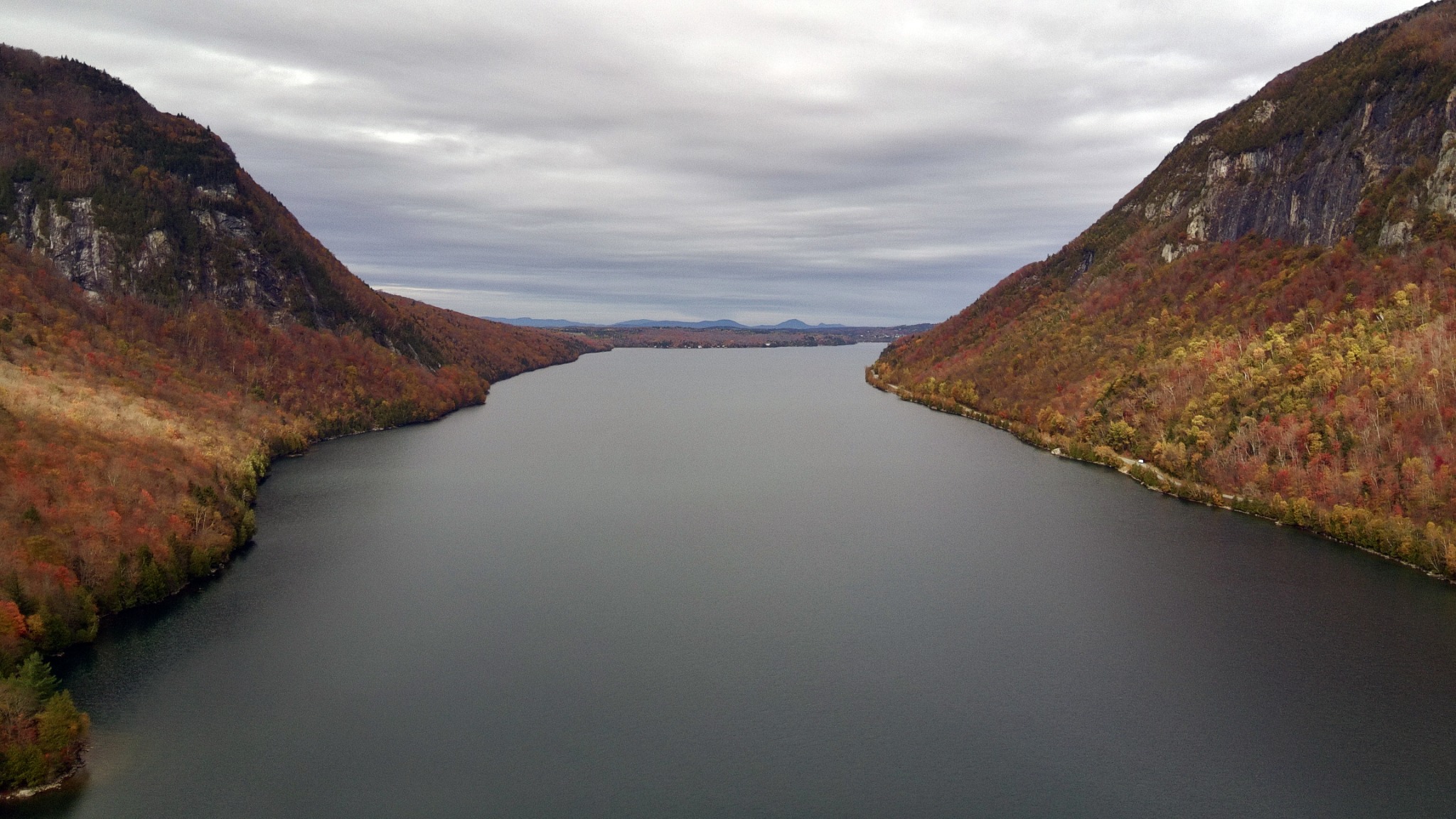
Big geography, clear story
The aerial work is strongest when it shows relationship: the steeple to the road, the field to the mountain, the lake to the cliffs, and the town to the larger land around it. That is the advantage here — not height for novelty, but height as context.
- Fine-art aerial prints for homes, offices, and local spaces
- Town, tourism, historical, and place-based storytelling imagery
- Editorial or web licensing for New England landscape content
- Project support for NH259 and regional documentation work
Collection Preview
Aerial Portfolio Themes
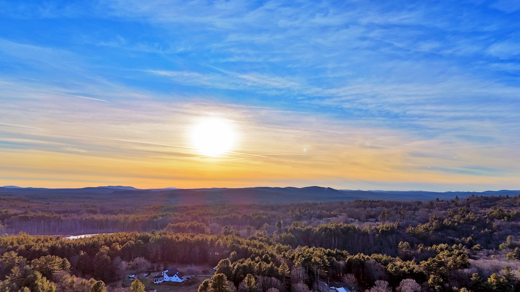
Ridgelines & Light
Long views, low sun, atmospheric sky, and the layered horizon lines that make New England feel endless.
Steeples & Town Centers
Classic civic landmarks documented from a clean aerial perspective.
Fields & Valleys
Rural geometry, forest edges, roads, fields, and the shape of settlement in the hills.
Next Step
Prints, licensing, and project support
For purchases, licensing questions, or support options, use the central Prints & Support page. It keeps prints, project support, and usage requests in one clean place.