Town Profile
Hill From Above
Hill is one of the archive entries where the aerial view becomes more than a portrait. It is a current town, a relocated community, and a visible memory of the earlier village site that still shapes the land.
This page gives Hill a larger showcase because the project documented both the present-day town and the abandoned Old Hill Village landscape.
Historical Companion Feature
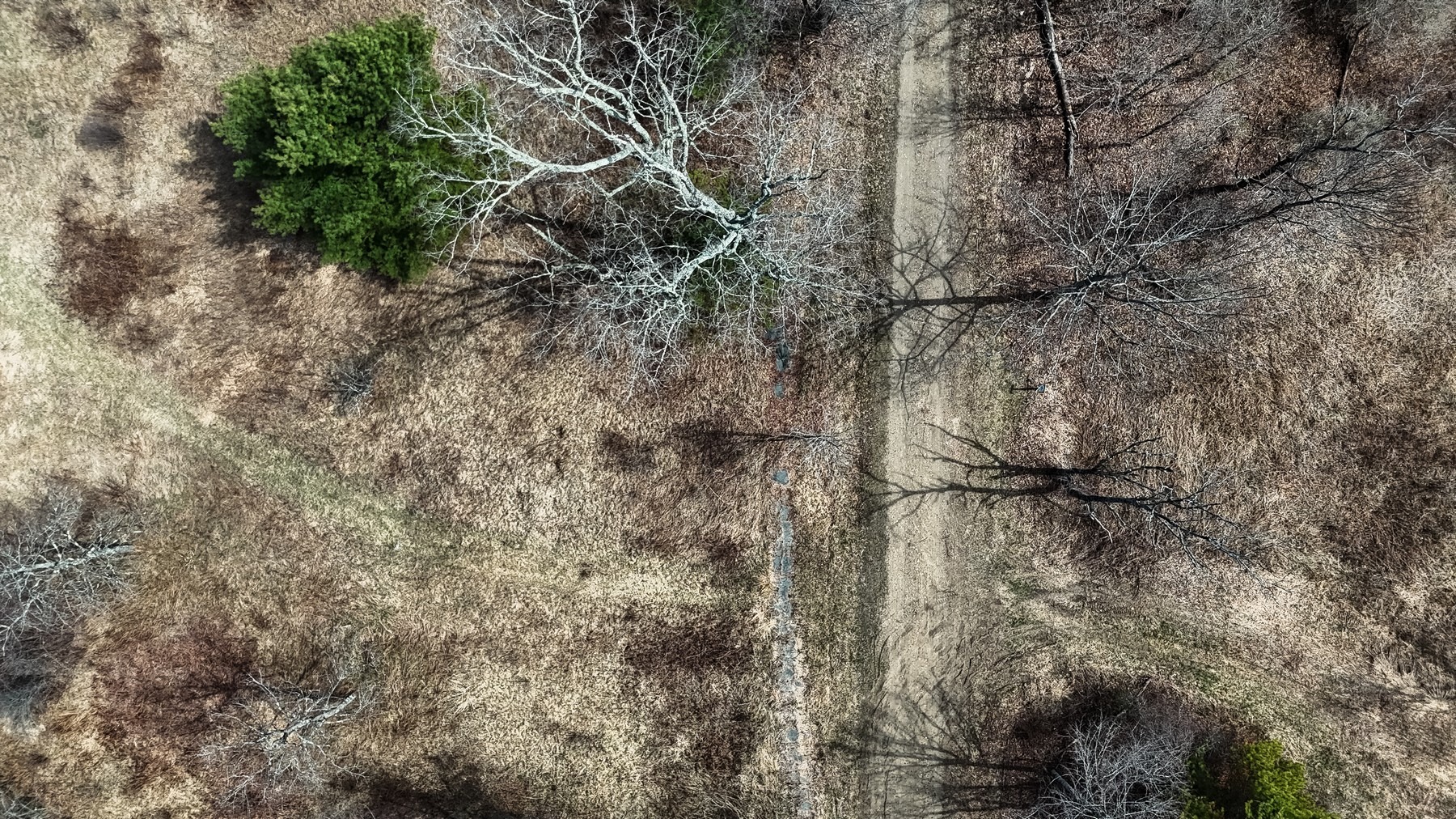
Old Hill Village
The overhead view reads almost like an archival map: tree shadows, road traces, field texture, and the quiet footprint of a place that changed because of flood-control planning along the Pemigewasset and Merrimack River system.
For NH259, Hill stands out because the town portrait and the abandoned village site belong together. One image shows the community as it is now; the other shows the landscape still carrying the memory of what moved.
Featured Images
Selected Hill Works
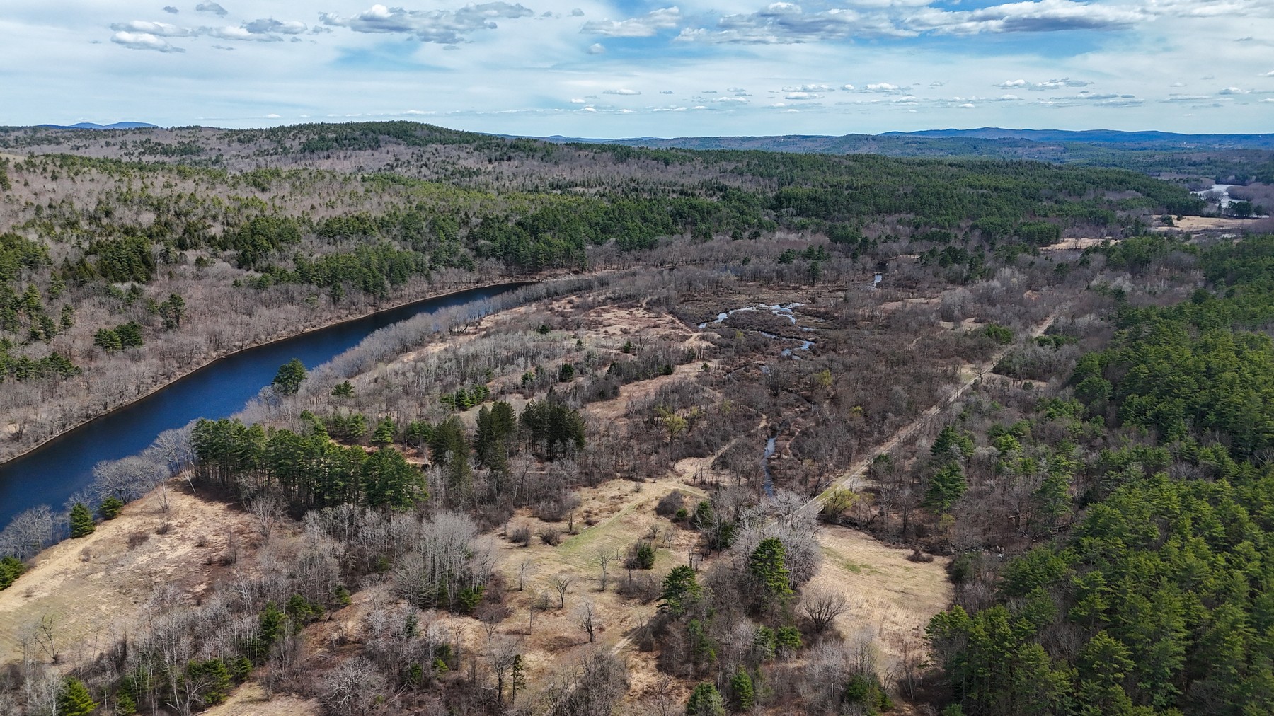
Town Portrait
A formal aerial portrait of Hill as a present-day New Hampshire town, surrounded by woods, roads, and rural settlement patterns.
Shop NH259 Prints
Old Hill Village: Shadows Cast
A quieter, more interpretive view of the old village landscape, where winter-bare trees and ground traces turn the site into a kind of historical diagram.
Shop NH259 Prints259-Town Archive
A Town and Its Former Footprint
Hill is part of the broader NH259 archive, but this entry deserves a little more room because the landscape tells two connected stories: the documented town and the abandoned place it moved from.