Town Profile
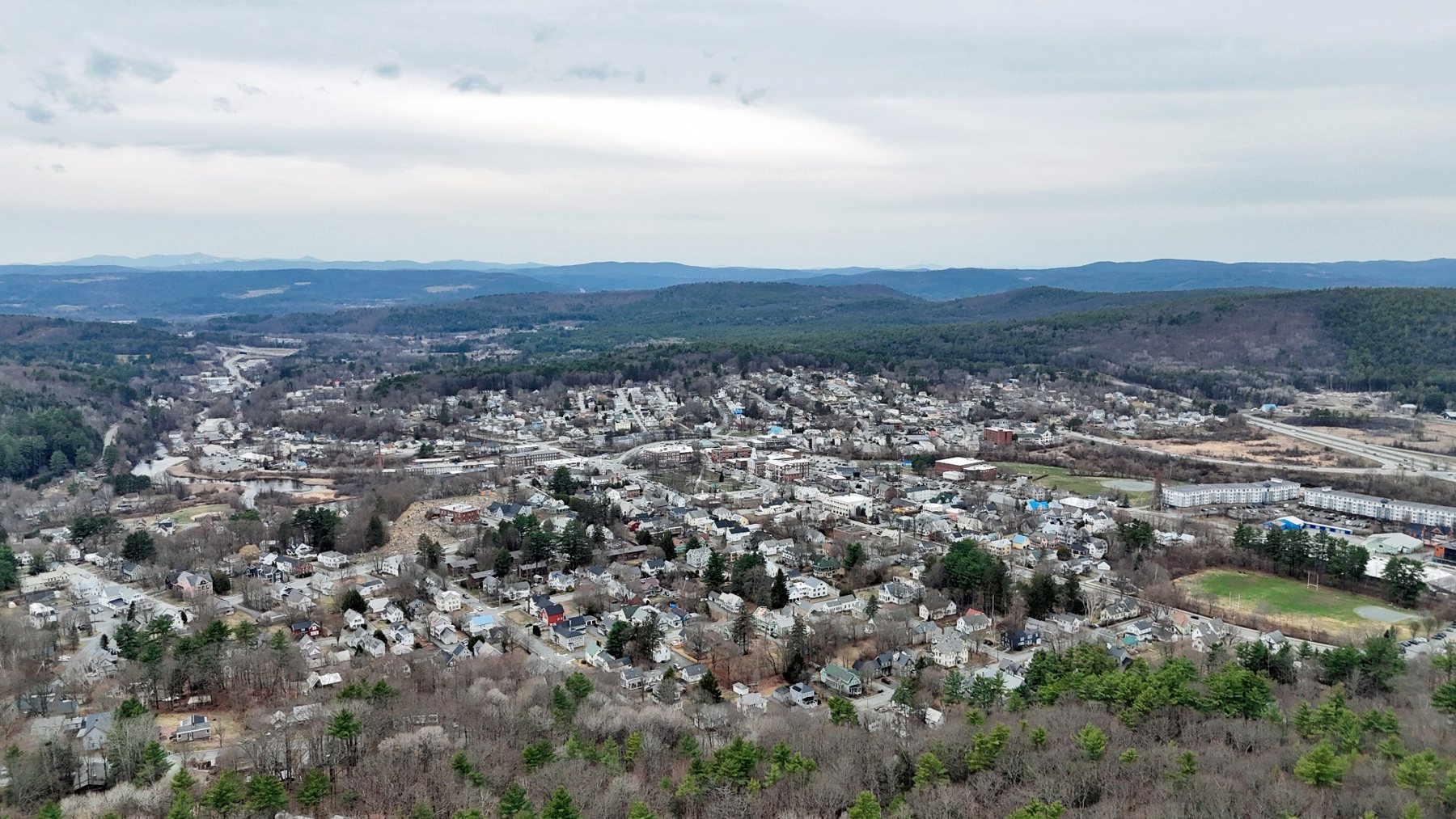
Lebanon From Above
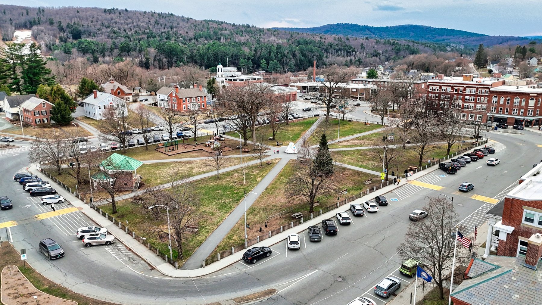
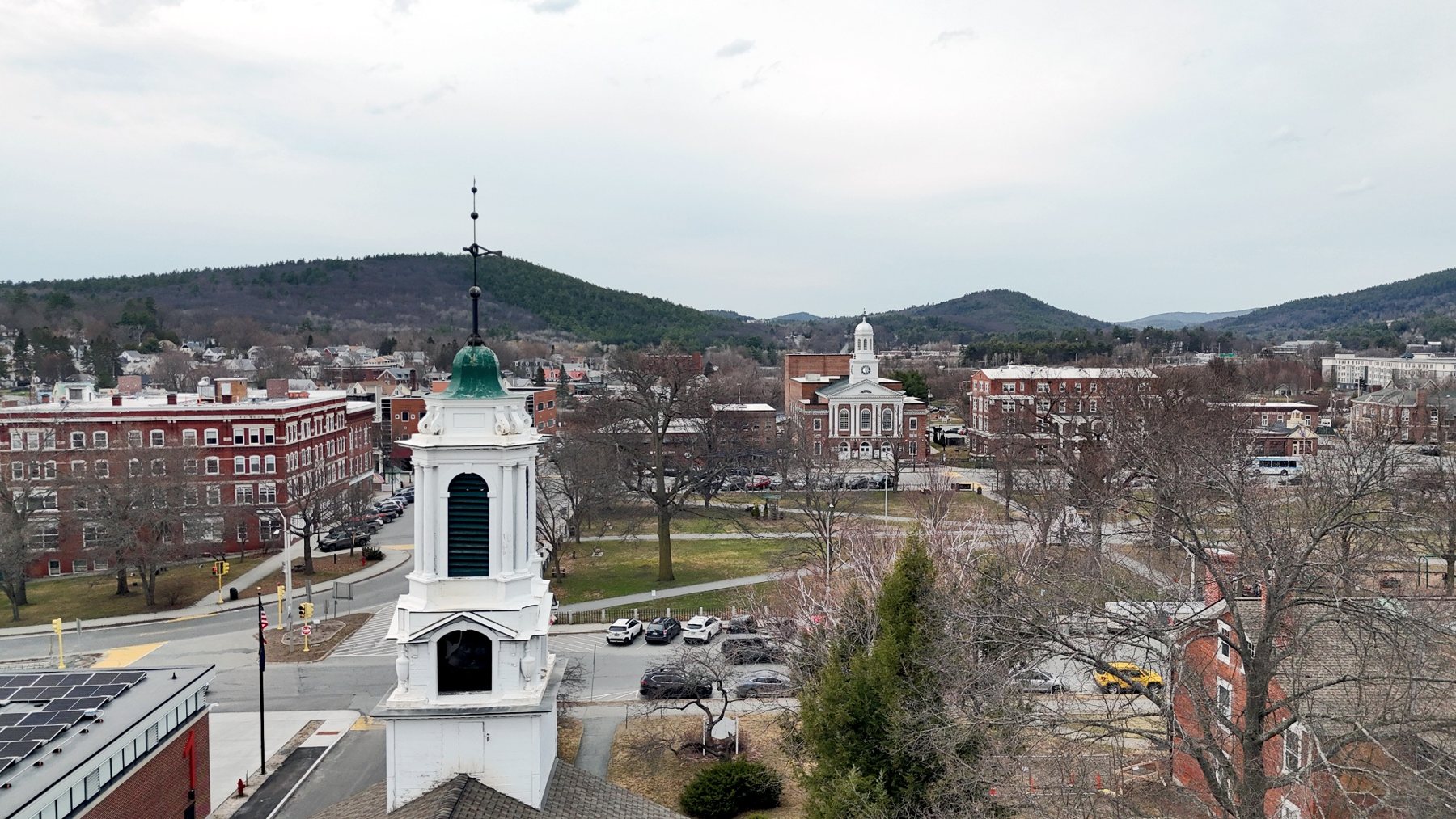
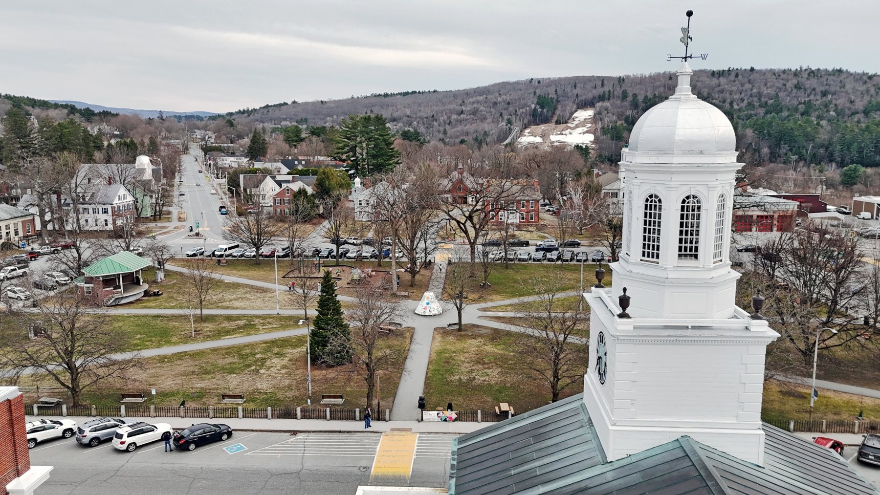
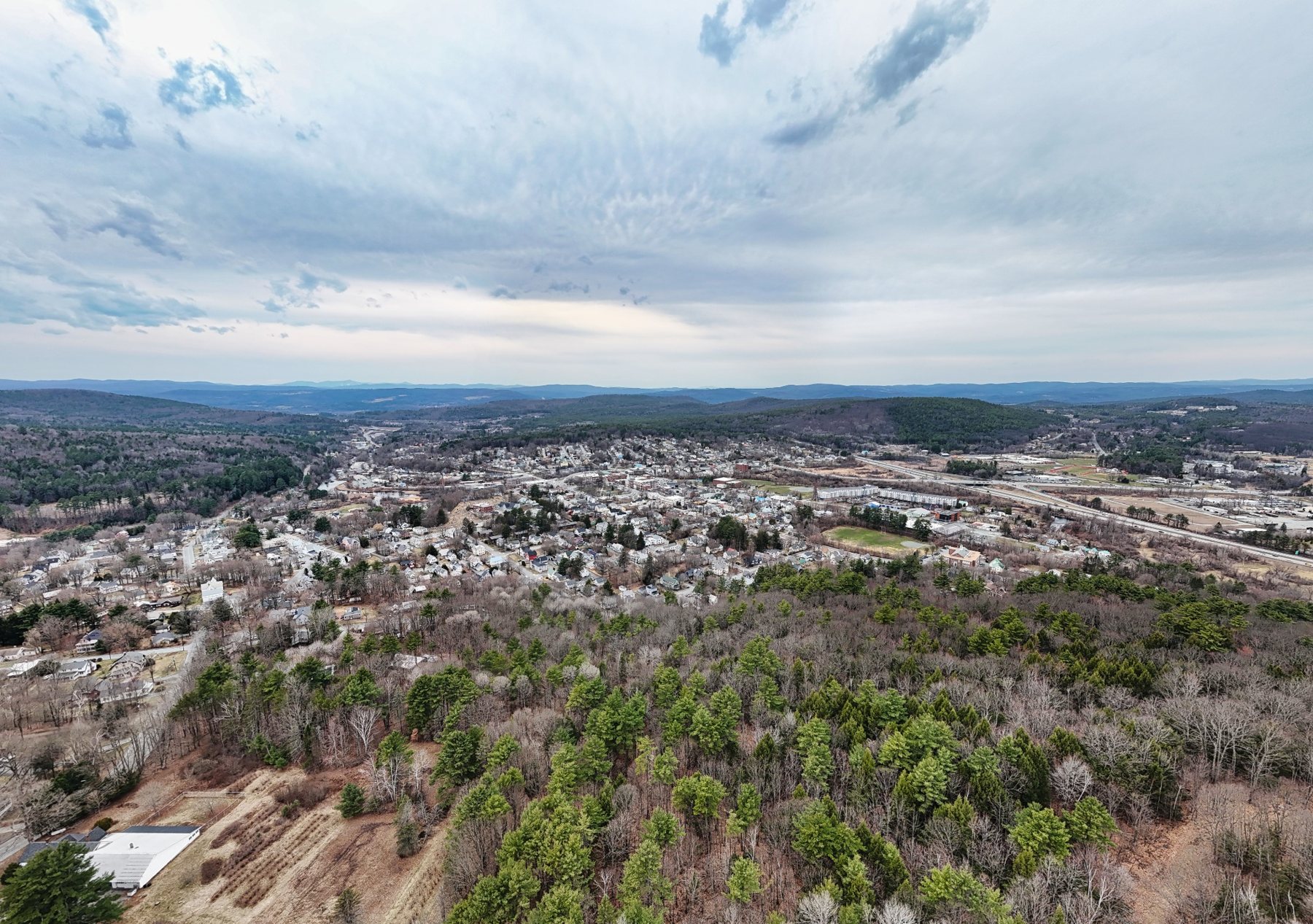
An Upper Valley center with a civic common, white steeples, surrounding hills, and broad aerial views of one of western New Hampshire’s strongest regional hubs.
Part of Andri Kyrychok’s growing New Hampshire aerial town archive, this page is designed as both a visual record and a clean pathway to available print options.
Featured Images
Selected Aerial Works
259-Town Archive
Part of the Larger Project
This town page is one entry in an ongoing effort to document New Hampshire communities from above.