Aerial Video
Cinematic drone footage of the town’s landscape, landmarks, roads, village center, and surrounding hill country.
Active 2026 Pilot Archive / Fiscally Sponsored
The first active deep-dive archive for the Monadnock Aerial History Project: a preservation effort focused on Acworth’s rural landscape, historic structures, village identity, and visual memory.
Why Acworth Became the Pilot
The project began as a Monadnock-region preservation concept, but the first active pilot moved to Acworth after strong local response to the aerial and ground-based documentation created there in March.
Acworth is outside the core Monadnock region, but it fits the project’s broader purpose: preserving the visual record of historic New Hampshire town centers and surrounding communities before subtle changes erase the texture of place.
Fiscal Sponsorship
The Monadnock Aerial History Project is fiscally sponsored by Arts Alive, Inc. Funds designated for the project are received and managed through Arts Alive under its IRS §501(c)(3) determination.
A direct Arts Alive contribution link will be added once the donation pathway is finalized.
Preservation Outputs
Cinematic drone footage of the town’s landscape, landmarks, roads, village center, and surrounding hill country.
High-resolution aerial and ground-based images suitable for archive use, public presentation, and historical reference.
A structured visual record that can support historical societies, local memory, public outreach, and future documentation.
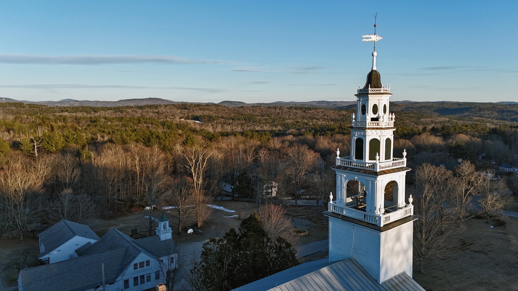
Visual Record
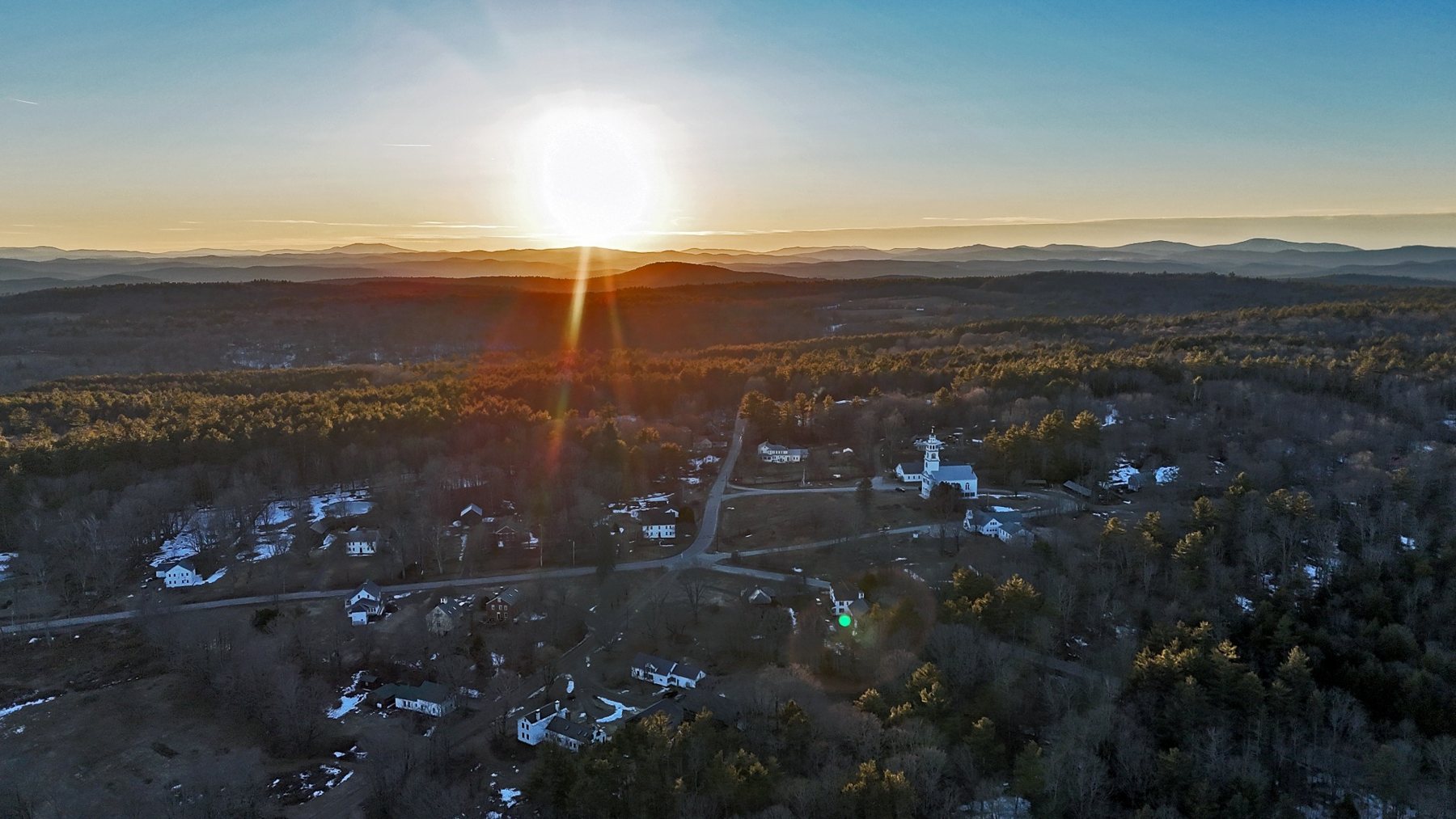
Wide aerial view of Acworth’s rural setting and wooded landscape.
Village landmark and surrounding hill country documented from above.
Two Connected Projects
Acworth also appears in the NH259 town archive as one entry in the statewide aerial documentation effort.